


The South Dakota Game Fish and Parks Department has created a new interactive map to provide information to boaters and anglers. The map, located at [3]http://gfp.sd.gov/fishing-boating/fishing-access.aspx allows users to search areas across the state and locate boat ramps and/or known areas with public shorefishing access. The map also provides information on each area, such as […]
 This content is restricted to subscribers of OutdoorNews.com. If you are already an OutdoorNews.com subscriber, you can
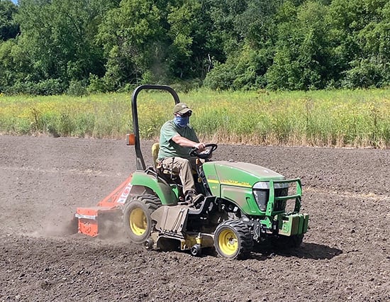
What farmers taught me about growing better wildlife food plots
The drone of my subcompact tractor echoed up and down the river valley as I dropped my rotary tiller to

Remembering Wisconsin DNR biologists Ed Frank and Doris Rusch
A large part of the Wisconsin Department of Natural Resource’s knowledge base is stored in the memories of its retired
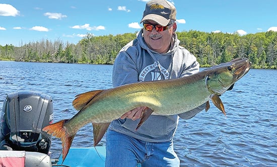
Confounded by a cold front? Eight ways to still boat muskies
More than 40 years ago when I started fishing for muskies I learned very quickly that some days produced better
