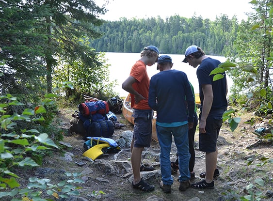
Ely, Minn. — Officials with the Minnesota Incident Command System provided an update this week on the wildfires burning in northern Minnesota and ongoing suppression efforts. As of Tuesday, the Boundary Waters Canoe Area remained closed through Friday, July 24. The U.S. Forest Service first closed the BWCA on July 14.
Lenore Lamb, public information officer for the southern area complex incident management team, said the BWCAW is being evaluated and monitored daily to see if extensions on the cancellation are necessary.
Nearly 800 personnel are assigned to fire suppression operations. The combined acreage of the July lightning incidents that sparked the blazes has reached more than 63,587 acres on the U.S. side of the border. An additional 8,412 acres have burned in Canada.
As of Tuesday, officials with the Superior National Forest within MICS reported the following conditions for fires in and around the BWCAW.
MORE COVERAGE FROM MINNESOTA OUTDOOR NEWS:
Outdoor Insights: Meet Griffith Pugh, a 20-year-old leader on Minnesota’s conservation scene
Minnesota DNR seeks input on three-duck limit proposal
Isle Royale closes two campsites amid wolf activity
Non-BWCA wildfires
Camp: About 4,402 acres. 5 miles north of Winton.
Sioux: Approximately 12,354 acres. Located north of the Echo Trail and east of Jeanette Campground. Portions of the fire are burning in the BWCAW.
BWCA wildfires
Little Knife: Originated in Ontario and crossed into the United States. The approximate fire acreage in the U.S. has been reduced to 4,958 acres.
Bear Trap (Bear Trap and Dark Fires combined): Approximately 37,747 total acres (29,682 acres in the U.S.). Located south of Lac La Croix, 20 miles north of Ely.
Thumb: 17,088 total acres (16,478 acres in the U.S.). Remote and located 6 miles South of Gakijiwanong Anishnaabe Nation Canada.
Wildfires west of Echo Lake, east of U.S. Hwy 53
Chub: 347.8 acres. 25% contained. Located north of Chub Lake, southwest of Crane.
Echo 2: 16.5 acres. 20% contained. Located off the Echo Rapids Rd., north of Echo Lake.
Beaver Tail: 11.6 acres. 50% contained. Location – west of the Vermilion River.
Ridge: 8 acres. 70% contained.
Located east of the Vermilion River.
Creek: 4.1 acres. 90% contained. Location – Northwest of Chub Lake.