


A new product, the Great Lakes Surface Water Temperature Map, has been developed by the NOAA to once again provide real-time satellite surface water temperatures updated daily.
Anglers seek areas where upwelling cold water could bring together bait fish and the sports fish that feed upon them.
 This content is restricted to subscribers of OutdoorNews.com. If you are already an OutdoorNews.com subscriber, you can
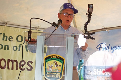
Ohio DNR, DOW set to benefit from new capital budget
The Ohio General Assembly untied the state’s purse strings and gave the Ohio DNR more than $265 million for various
Ducks Unlimited, USFWS investing big funds in Ohio wetland job
The U.S. Fish and Wildlife Service (USFWS) Migratory Bird Conservation Commission recently granted Ducks Unlimited (DU) and numerous partners $9
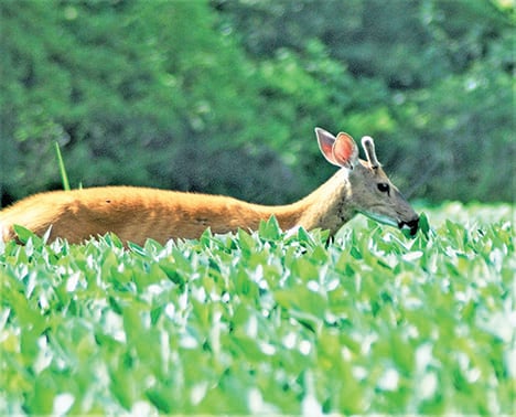
Drawings, meetings coming for special deer hunts in Ohio
The Ohio DNR (ODNR) Division of Natural Areas and Preserves is holding special deer hunts at state nature preserves and
