


St. Paul — The Minnesota DNR is starting a three-year research project to study whitetail populations in the northeastern part of the state. The project will use trail cameras on public and private land to determine deer density in specific areas.
The deer permit areas (DPAs) included in the study are 169, 176, 177, 178, 197, and 679, and they’re located in Cass, Beltrami, Itasca, Hubbard, and St. Louis counties. This month, the DNR will reach out to private landowners to request access to their property to set up trail cameras.

The purpose of this project is to gather information on deer populations, which have decreased in the region in recent years.
Eric Michel, DNR lead researcher, said the DNR relies heavily on hunter harvest data to model deer populations. This project aims to provide additional metrics to improve understanding of the region.
“Monitoring deer up in the northeastern part of the state, we don’t have a lot of different ways to do that,” Michel said. “So, that’s kind of where we started is ‘What can we use to better estimate deer densities and actually track those changes across time?’”
Michel added that the DNR conducted two feasibility studies in 2021 and 2023, focusing solely on public lands. This time, the project will use 20 trail cameras on public land and 20 on private land to gain a comprehensive perspective.
The DNR will send letters to private landowners in these DPAs this month to seek permission to use their land for research. The cameras will take photos every five minutes from July to September, and will be removed before the archery season begins.
Cameras will be placed in different locations each year to collect diverse data on deer populations.
“The second part of this project is actually comparing deer density between private and public lands,” Michel said. “Area managers have had conversations about there potentially being higher deer densities on private lands. People are managing specifically for deer hunting and that would make sense, but we don’t have any information to really inform that.”
MORE WHITETAIL COVERAGE FROM OUTDOOR NEWS:
Wisconsin Wardens at Work: Violators caught on their own trail cameras
Gear to prioritize when building a whitetail Sitka system for each part of the season
Northern Wisconsin’s deer herd: Deer in Iron, Ashland counties living on the edge
The DNR will use machine learning and artificial intelligence programs to analyze the thousands of photos collected. Michel noted that these programs were successfully used in the previous feasibility studies.
The project will cost $142,000 over three years, and the DNR budget is funding it without external grants. Final results and analysis will be available in 2027.
Michel acknowledged discussions about wolves in the northeast, but emphasized that the project focuses on deer populations.
The team will note all animals observed in the photos.
During the project, Michel is not requesting public assistance beyond private landowners allowing trail cameras on their property. The DNR aims to maintain consistency and accuracy in data collection by using its own cameras exclusively.
“Unfortunately, we can’t really collaborate with people and just grab photos from their cameras that they have out on their properties,” Michel said. “But, if they get a letter and they’re willing to work with us, it’d be great to have access to their property and be able to put out a camera.”
Landowners can contact Eric Michel at eric.michel@state.mn.us if they have questions about the project.
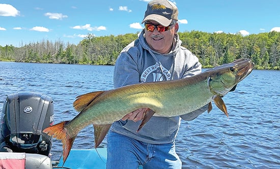
Confounded by a cold front? Eight ways to still boat muskies
More than 40 years ago when I started fishing for muskies I learned very quickly that some days produced better
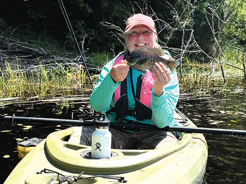
Kristin Ojaniemi: Kayak fishing features bugs, lilacs – and big bull bluegills
“What is your favorite type of fishing?”
It’s a question I often hear when I’m on a boat with
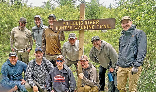
From ages 8 to 80, volunteers team up to improve public-land hunting access in northeast Minnesota
From June 12 to 14, the Minnesota Chapter of Backcountry Hunters & Anglers hosted a campout and stewardship event in
