
Home » Uncategorized » The creator of a new mapping software is asking Outdoor News readers to take a free test drive of the product. The software uses aerial photos, topographic maps, land use maps, and latitude/longitude coordinates to locate and map hunting locations and fi
The creator of a new mapping software is asking Outdoor News readers to take a free test drive of the product. The software uses aerial photos, topographic maps, land use maps, and latitude/longitude coordinates to locate and map hunting locations and fi
SUBSCRIBER CONTENT
Read this article now.
Create a free Outdoor News account.
Create a free account below to get instant access to this article, thousands of Outdoor News stories, and our digital editions. Your 1-month trial starts the moment you sign up.
No credit card required
Subscriber? Login Here.
Share on Social
Hand-Picked For You
Ohio Mixed Bag: State finishes up wetland project in St. Marys on Ottawa River
Ohio Letters to the Editor: Missing all of the old-school traditions of the fall season
Ohio Insider: New website makes it easier to order native trees and seedlings
Minnesota DNR completes seed sowing via helicopter for remote reforestation
Colleen Foehrenbacher: Urban bowhunting offers unique opportunity with potential for problem-solving required
Lily Lake: one of Pennsylvania’s really good northern pike places
Related Articles

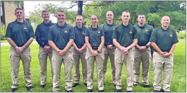
Nine Ohio DND Division of Wildlife officer cadets training
The 33rd Ohio Wildlife Officer Training Academy is underway with nine cadets training to become wildlife officers.

Ohio Mixed Bag: State finishes up wetland project in St. Marys on Ottawa River
As part of Ohio Gov. Mike DeWine’s H2Ohio Initiative, the Ohio DNR (ODNR) and the village of Ottawa Hills held

Ohio Letters to the Editor: Missing all of the old-school traditions of the fall season
Reader-submitted letters to the editor published in the Sept. 25, 2026 edition of Ohio Outdoor News.